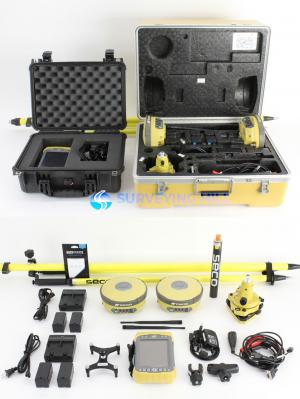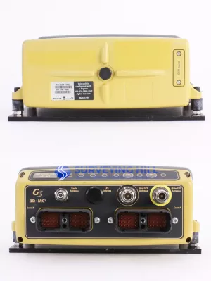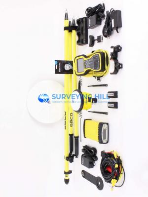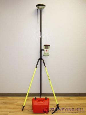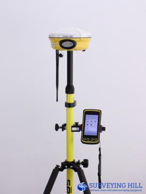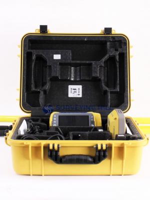
GPS Surveying
GPS Surveying is a geospatial technique that uses Global Positioning System satellites to determine precise land positions and coordinates. It enables accurate mapping, boundary marking, and terrain data collection with high efficiency. Widely used in construction, agriculture, engineering, and land planning, GPS surveying improves field productivity, reduces manual errors, and delivers reliable real-time location data for professional surveying applications.